


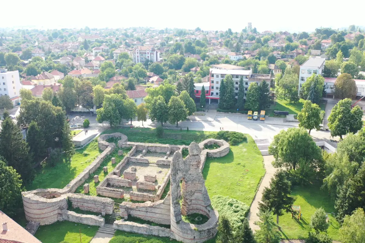
During the 1870s, the Austro-Hungarian scholar and travel writer Felix Kanitz identified impressive remains of the Castra Martis fortress in the center of the town of Kula. The fortress is located on a steep southern slope above the gorge of the Voynishka River, in the heart of present-day Kula.
Archaeological research has shown that, prior to the construction of the fortress, a small Thracian-Roman settlement existed on the same slope, dating back to the 1st millennium BCE.
The fortress was part of the restored Danube limes of the Roman Empire after the loss of Dacia at the end of the 3rd century. It was most likely built during the reign of Emperor Diocletian, at the turn of the 3rd and 4th centuries. Its purpose was to protect the route from Bononia (Vidin) to Singidunum (Belgrade), passing through Vrashka Chuka — the northwesternmost pass of the Balkan Mountains.
In 343, the bishop of Castra Martis participated in the important Council of Serdica. The fortress is also mentioned in 377, when Emperor Gratian passed through it with his troops on the way to Thrace. In 408, it was briefly captured by the Hunnic leader Uldin. In the 6th century, Procopius of Caesarea listed Castra Martis among the major fortresses restored by Emperor Justinian I (527–565). The fortress was destroyed during the Avar invasions in 586–587. During the 13th–14th centuries, it was partially restored and used for the defense of the Vidin Tsardom.
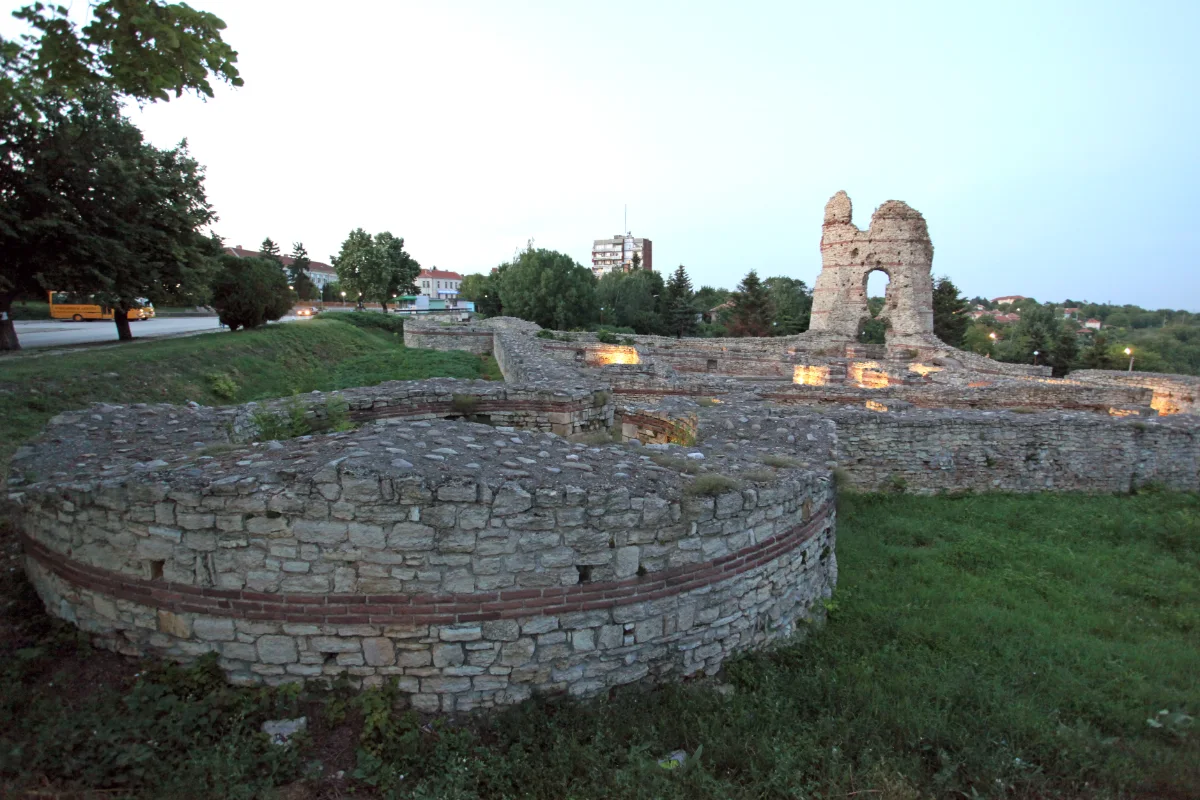
The fortress consists of two parts — a smaller square fortification and a larger castellum located to its south. The original square fort, measuring 40 × 40 meters, dates from the late 3rd to early 4th century, when Emperor Diocletian intensively built such structures along the empire’s borders. It features large corner towers with a diameter of 12.5 meters.
This part of the fortress is very well preserved and fully explored. Its walls are built of stone and triple brick layers, with a thickness of 2.2 meters and an average preserved height of about 2 meters above ground level. The southeastern tower rises to 16.3 meters and is the feature that gave the modern town of Kula its name.
The fortification is accessible only from the south, where a gate with double doors is located. Likely at the end of the 4th century, the entrance was reinforced with an additional wall, 3.3 meters thick, forming guard rooms and a gate tower.
To the south of the fort lies a military camp, which was fortified in the second quarter of the 4th century during the reign of Constantine the Great (306–337), with walls 4.3 meters thick. The larger fortress has the shape of an irregular quadrilateral with seven multi-sided towers and covers an area of 15.5 hectares.
Northwest of the fortress, the remains of Roman baths have been discovered, indicating the presence of a civilian settlement outside the fortress walls.
